|
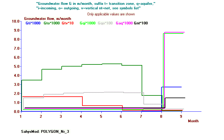
Summary: PolySalt is designed to simulate the depth of the water table, the soil salinity and the groundwater flow in irrigated areas with a monthly time step, using a polygonal network. It allows the introduction of a subsurface drainage system in a transition zone between root zone and aquifer, and subsequently it determines the drain discharge. When the irrigation/rainfall is scarce and the water table is shallow, PolySalt will calculate the capillary rise and reduce the potential evapotranspiration to an actual evapotranspiration, although the reduction may diminished by the capillary rise. The model can also take into account upward seepage from the aquifer or downward flow into it. The latter is also called natural subsurface drainage. PolySalt can be used when field observations of irrigation, water table and soil salinity have been made and one wishes to develop a model for that situation. Normally, calibration of unknown values must be done using a range of values of the corresponding variable, running the model repeatedly and selecting the optimal value from the range that gives model results closest to observed values. |
|
Details: This model is a condensed form of SahysMod. On the one hand the water management options are fewer (e.g. re-use of drainage or well water for irrigation do not feature here), but the model runs monthly instead of seasonally. After each month, the program gives the user the opportunuity to change input data before it continuous calculations for the next month. Upon request a version with a different time step (e.g. a week) can be made available. |
|
Start: The program starts clicking on PolySalt.Exe. More information is given in the program itself. |
|
Acknowledements: (to be completed) |
Download
PolySalt


